|
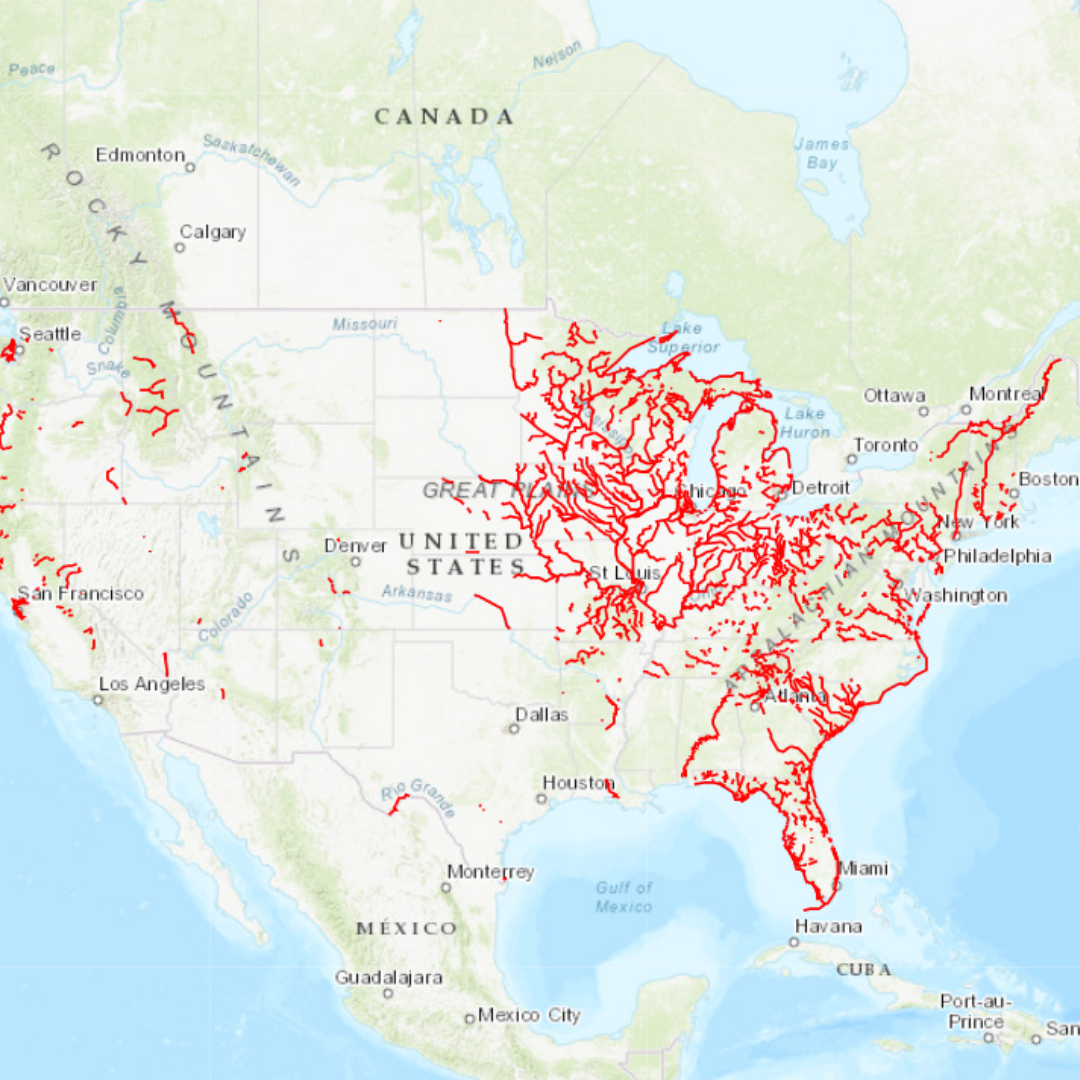
National Rivers Project
Location: USA
Developed by: RMS and state, federal and local partners
View Map
|
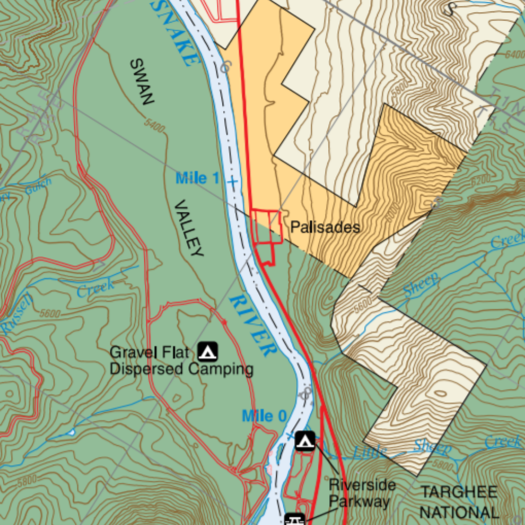
South Fork Snake River Guide
Location: Idaho
Developed by: Bureau of Land Management
View Map
|
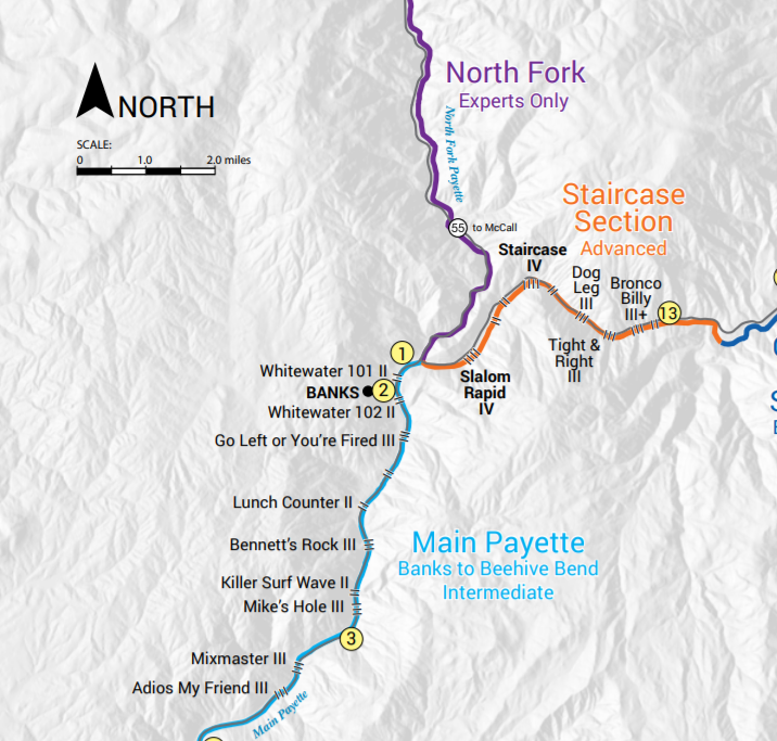
Payette River
Location: Idaho
Developed by: Bureau of Land Management
View Map
|
|
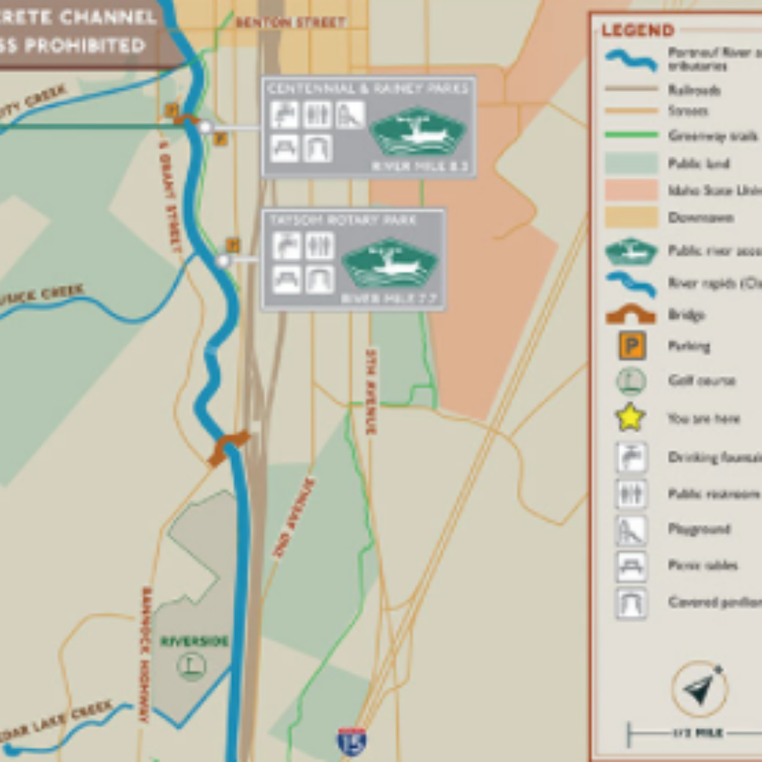
Portneuf River
Location: Idaho
Developed by: Portneuf River Vision
View Map
|
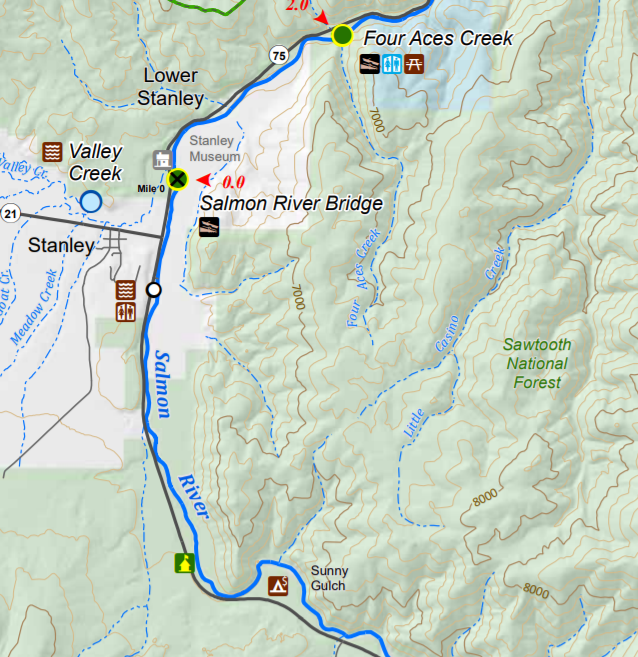
Upper and Lower Salmon Guides
Location: Idaho
Developed by: Bureau of Land Management
View Maps
|
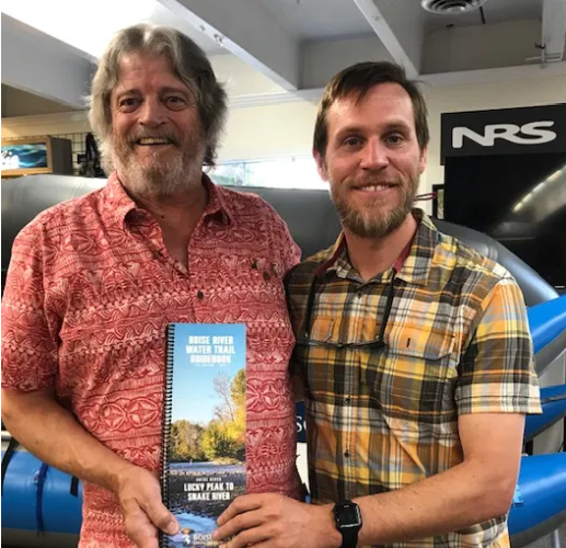
Boise River Water Trail Guide
Location: Idaho
Developed by: Boise River Enhancement Network
Learn more
|
|
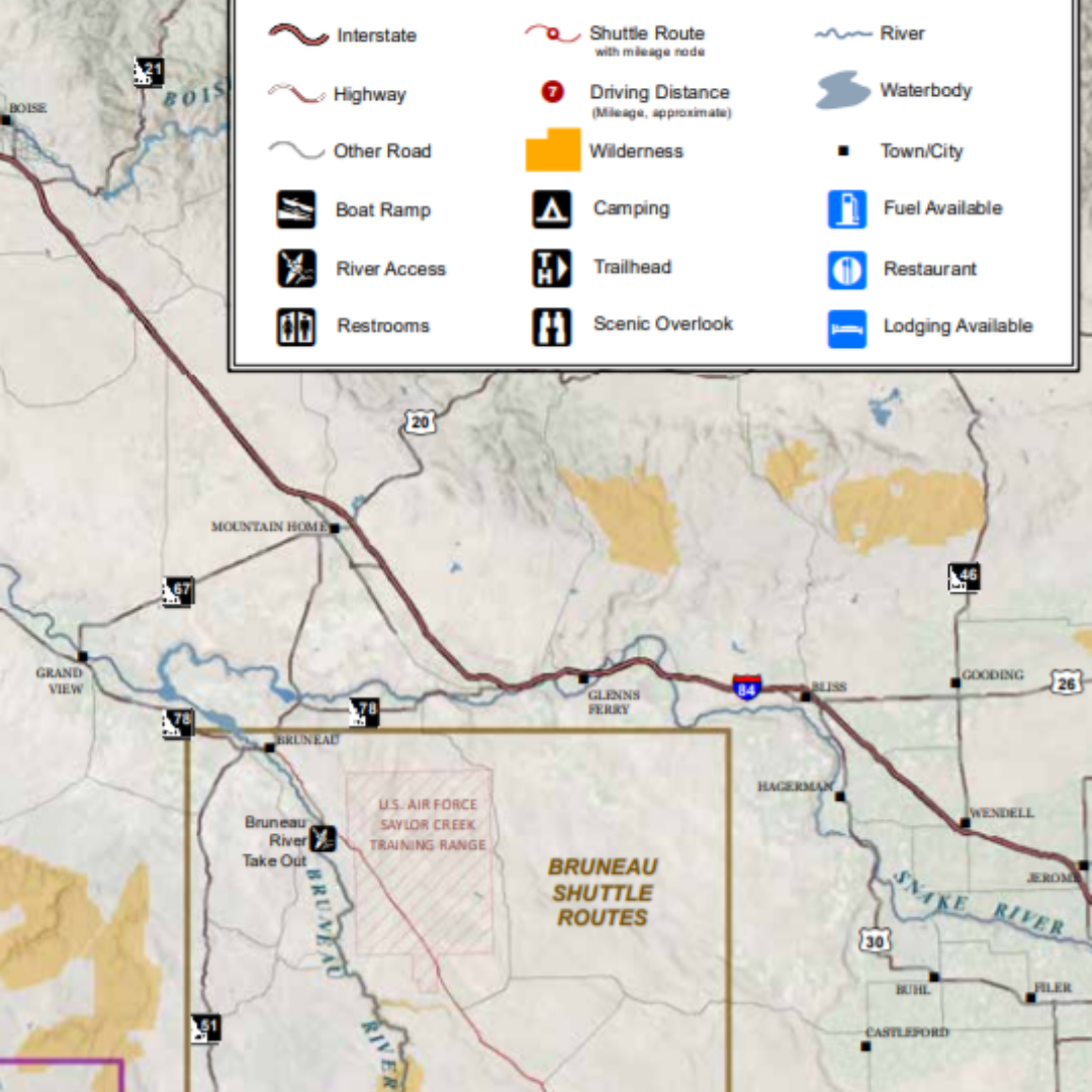
Bruneau, Jarbidge and Owyhee River Guide
Location: Idaho
Developed by: Bureau of Land Management
View Map
|
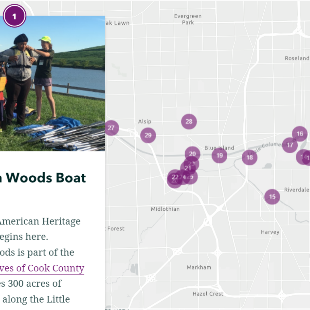
The African American Heritage Water Trail
Location: Little Calumet River, Indiana
Developed by: Openlands
View Map
Video
|
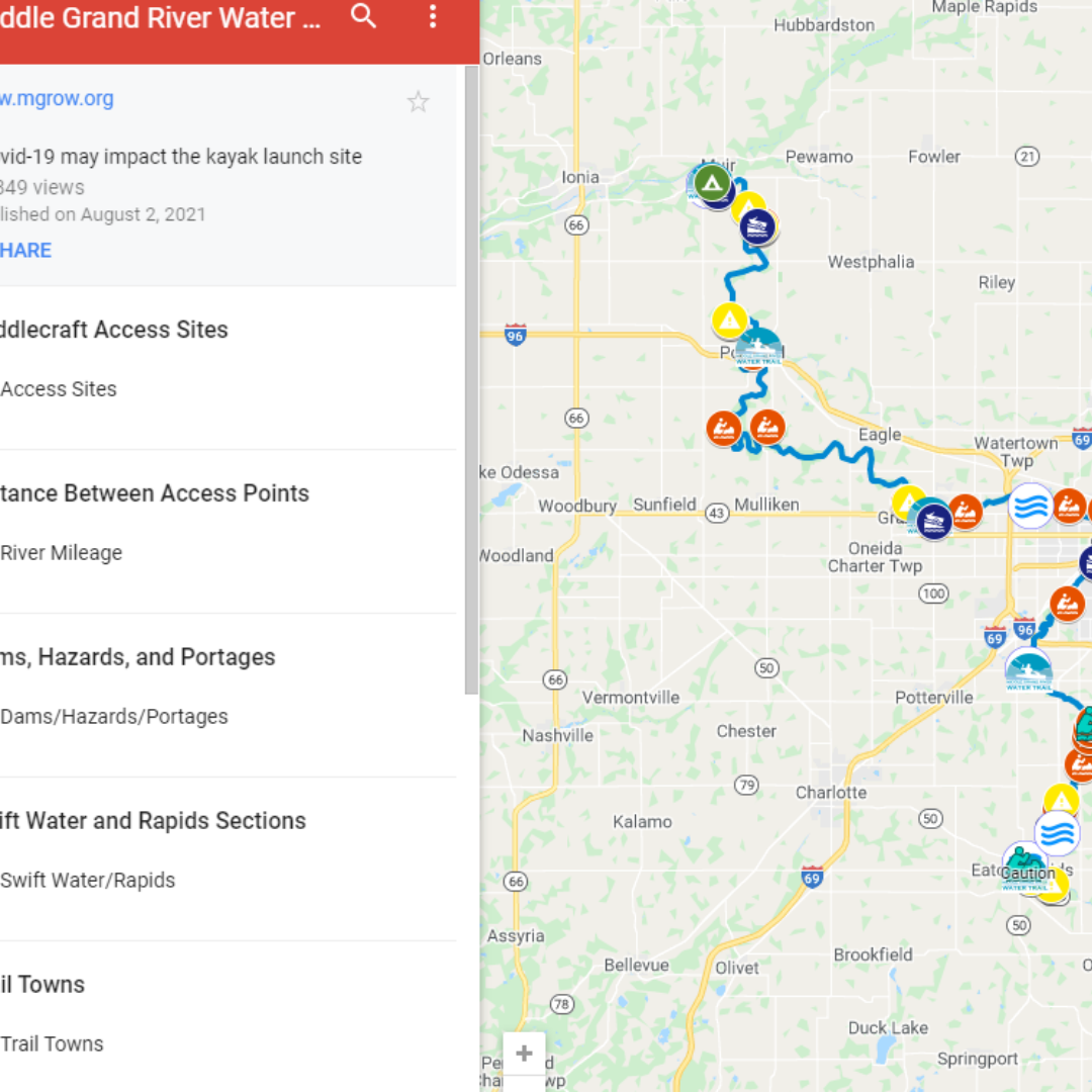
Middle Grand River Water Trail
Location: Michigan
Developed by: Middle Grand River Organization of Watersheds
View Map
|
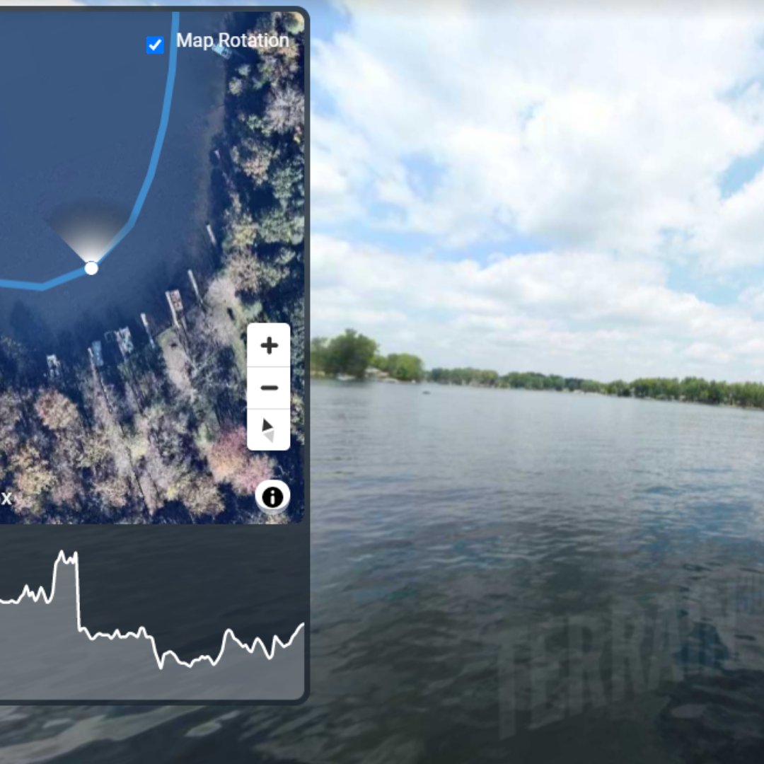
Huron River Water Trail
Location: Michigan
Developed by: Terrain360
View Map
|
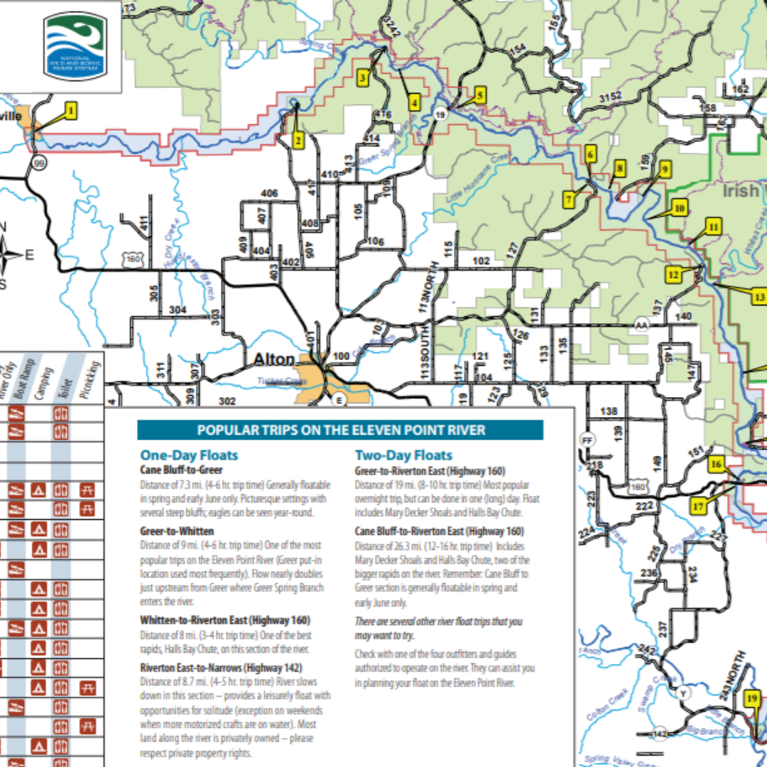
Eleven Point National Scenic River
Location: Missouri
Developed by: USDA Forest Service
View Map
|
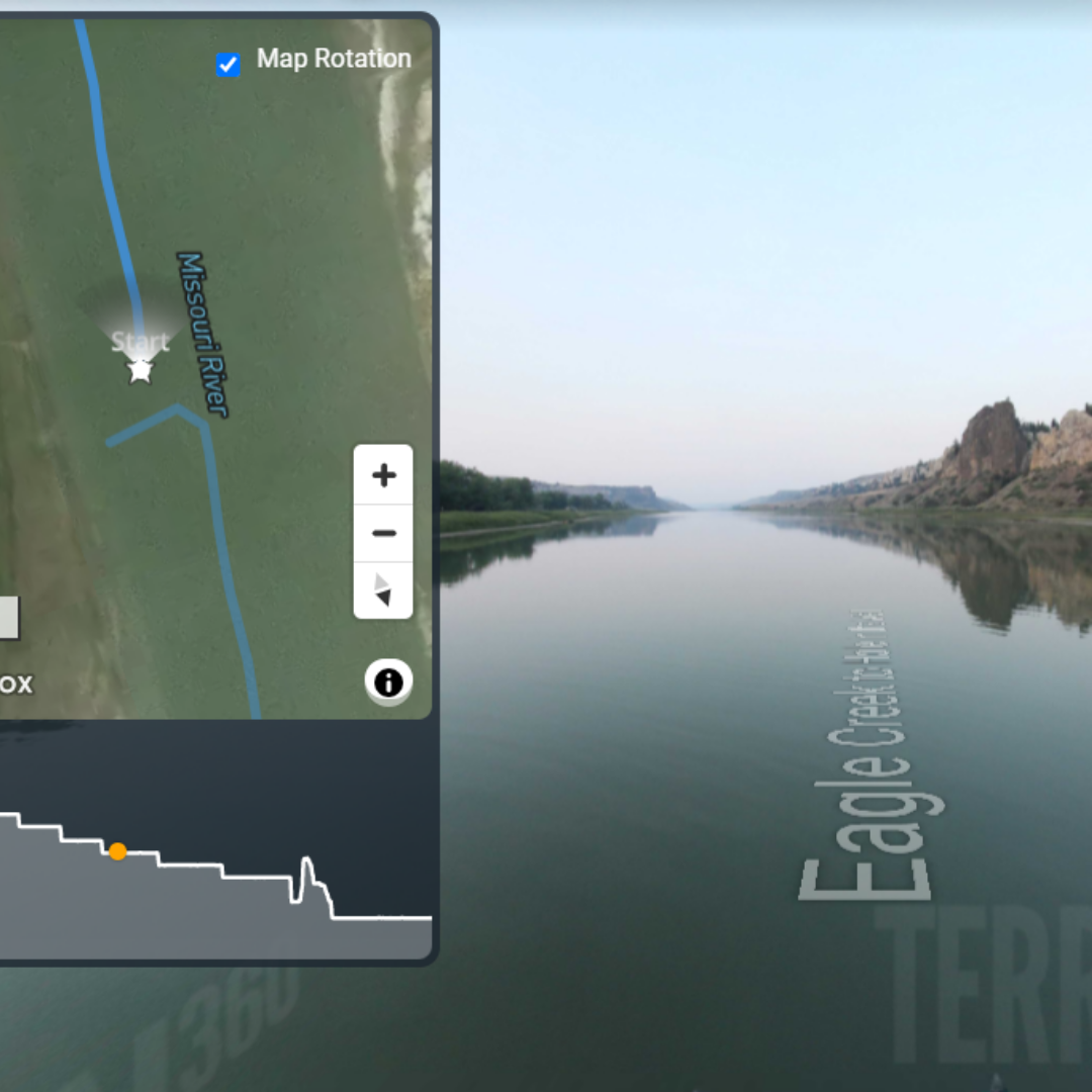
Eagle Creek to Hole in the Wall
Location: Missouri River, Montana
Developed by: Terrain360
View Map
|
|
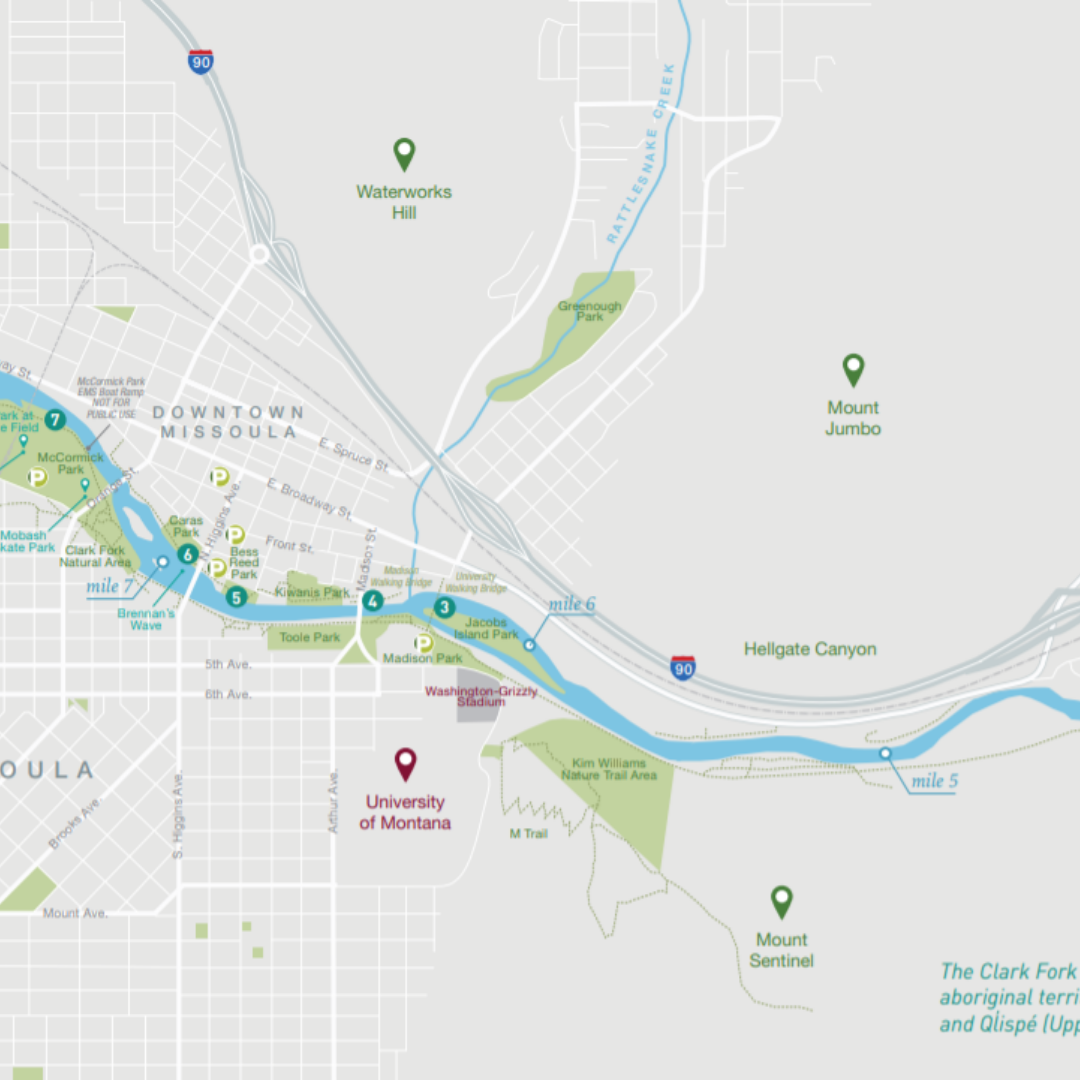
Greater Missoula, MT
Location: Missoula, MT
Developed by: Montana Fish, Wildlife and Parks in cooperation with Tourism Bureau and Downtown Partnership
View Map
|
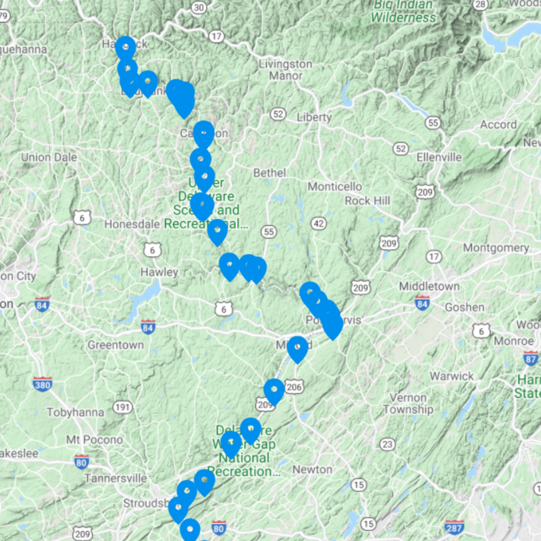
Delaware River
Location: New York, New Jersey, Pennsylvania, Delaware and Maryland
Developed by: Delaware River Greenway Partnership
View Map
|
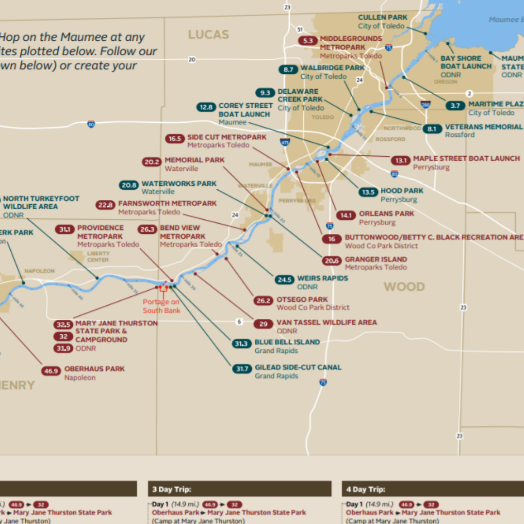
Maumee River Water Trail
Location: Ohio
Developed by: Metroparks Toledo North West Ohio
View Map
|
|
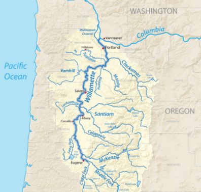
Willamette River Water Trail
Location: Oregon
Developed by: Willamette River Water Trail
View Map
|
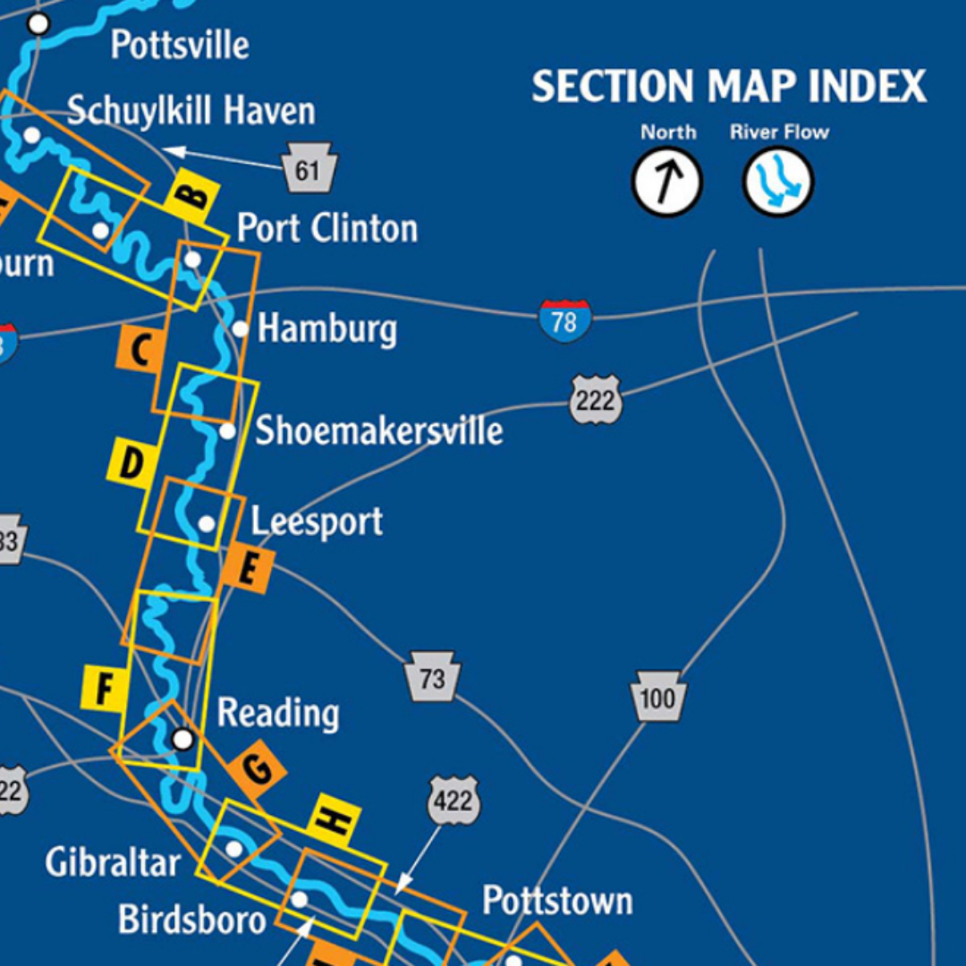
Schuylkill River Water Trail
Location: Pennsylvania
Developed by: Schuylkill River Greenways
View Map
|
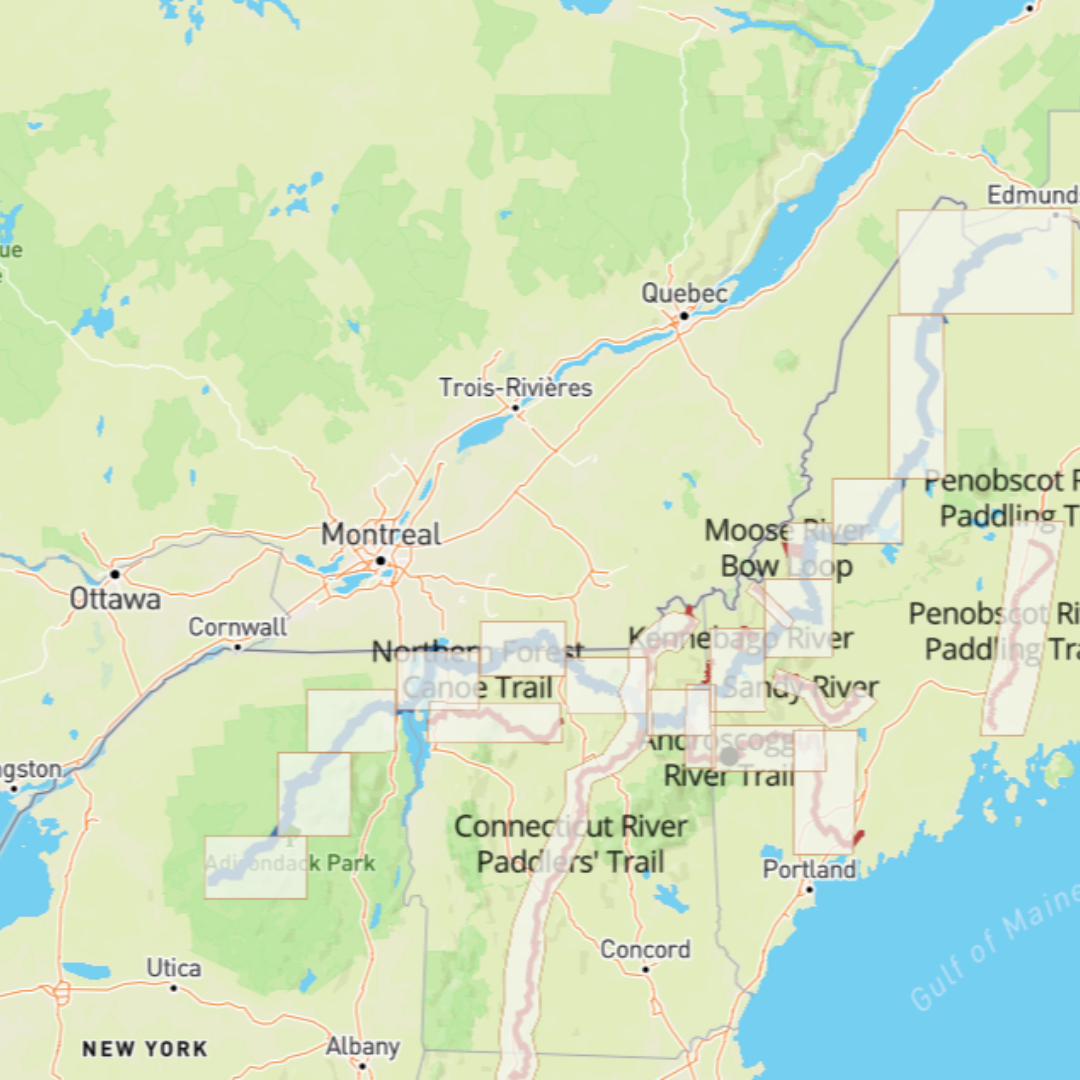
North Forest Canoe Trail
Location: Waitsfield, VT
Developed by: North Forest Canoe Trail
View Map
|
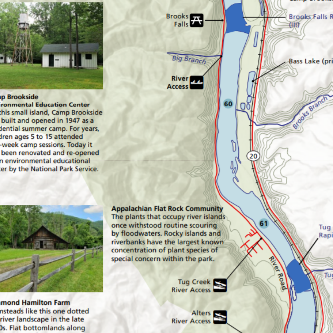
New River National Park and Preserve [Draft]
Location: West Virginia
Developed by: National Park Service
View Map
|
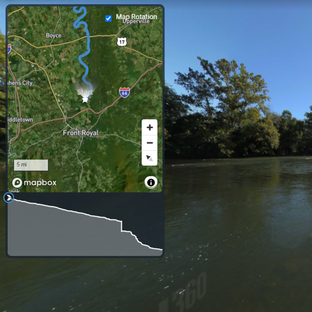
Morgan's Ford to Harper's Ferry
Location: Virginia and West Virginia
Developed By: Terrain360
View Map
|
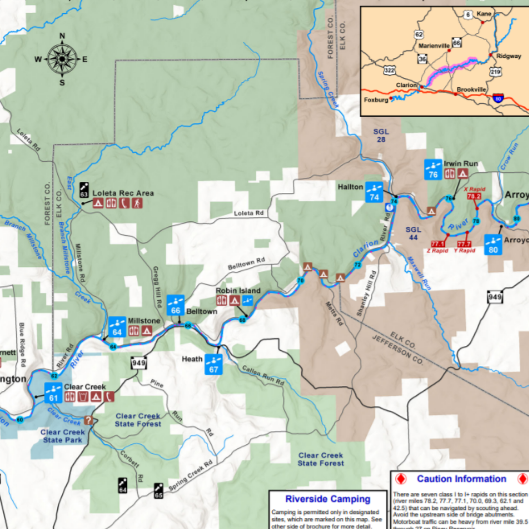
Middle Clarion Water Trail
Map and Guide
Location: Pennsylvania
Developed by: Brenda Adams-Weyant and the Clarion River Municipal Partnership
View Map
|
|
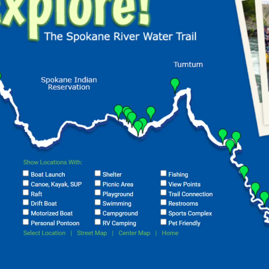
Spokane River Water Trail Map
Location: Washington
Developed by: Spokane River Forum
View Map
|
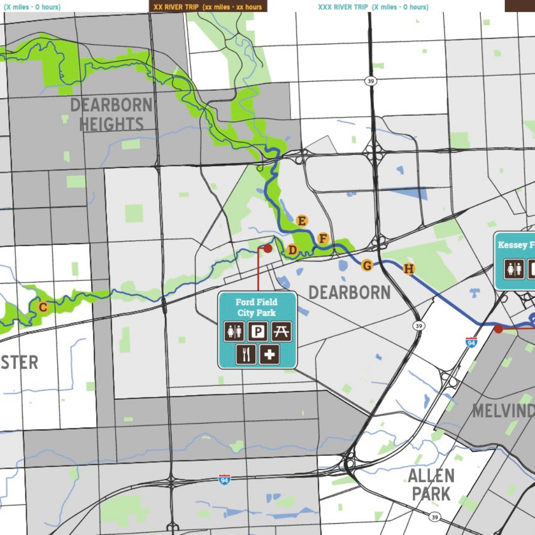
Lower Rouge Water Trail Paddlers' Companion
Location: Michigan
Developed by: Friends of the Rouge
View Map
|
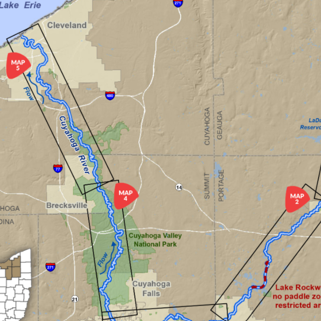
Cuyahoga River Water Trail
Location: Ohio
Developed by: Cuyahoga River Water Trail Partners and the Put-in-Bay Township Park District in cooperation with Ohio Sea Grant and NPS RTCA
View Map
|
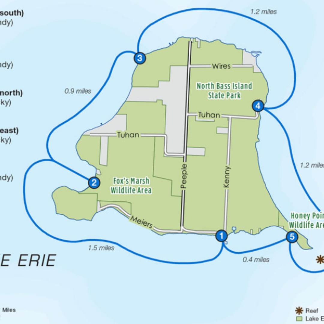
Lake Erie Islands Water Trails
Location: Ohio
Developed by: Cuyahoga River Water Trail Partners and the Put-in-Bay Township Park District in cooperation with Ohio Sea Grant and NPS RTCA
View Map
|
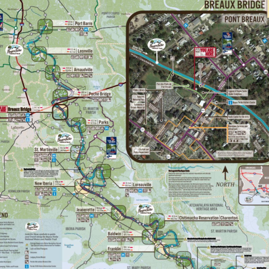
Bayou Teche National Water and Paddle Trail
Location: Louisiana
Developed by: David L. Dahlquist Associates, LLC
View Map
|
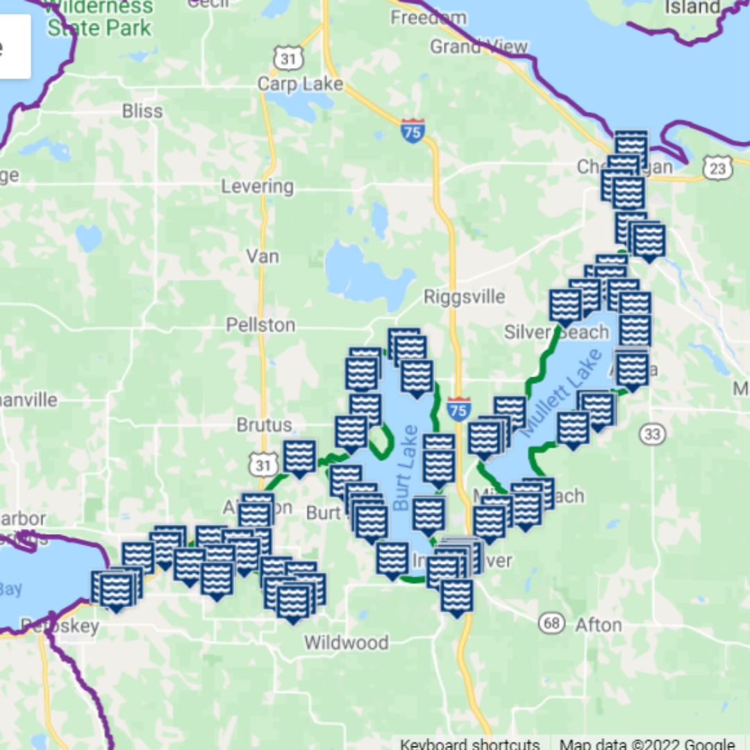
Michigan Water Trails
Location: Michigan
Developed by: LIAA
View Map
|
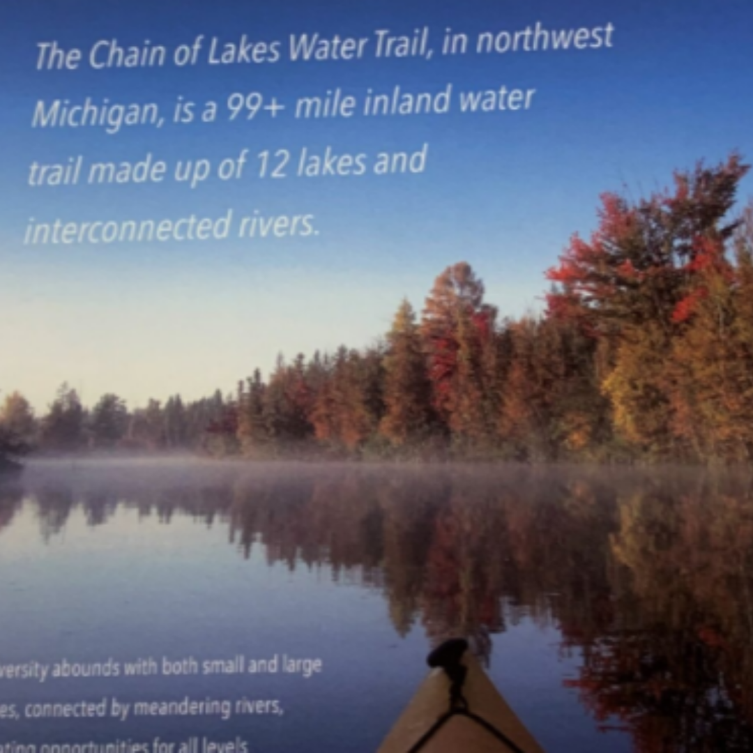
Chain of Lakes Paddlers' Guide
Location: Michigan
Developed by: Paddle Antrim
Waterproof Map / Digital Map
|
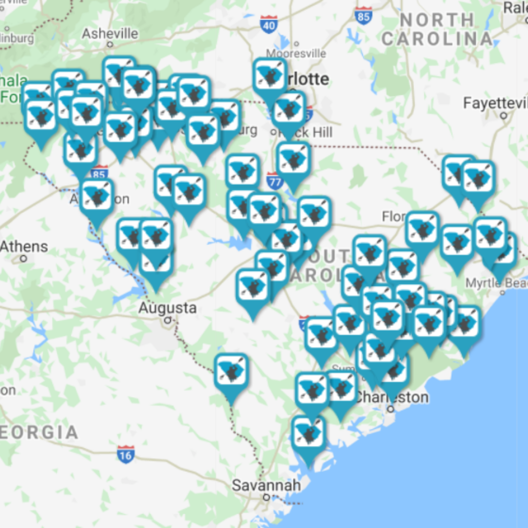 ' '
Paddle SC
Location: South Carolina
Developed by: Paddle SC and the Center for Community GIS
View Map
|
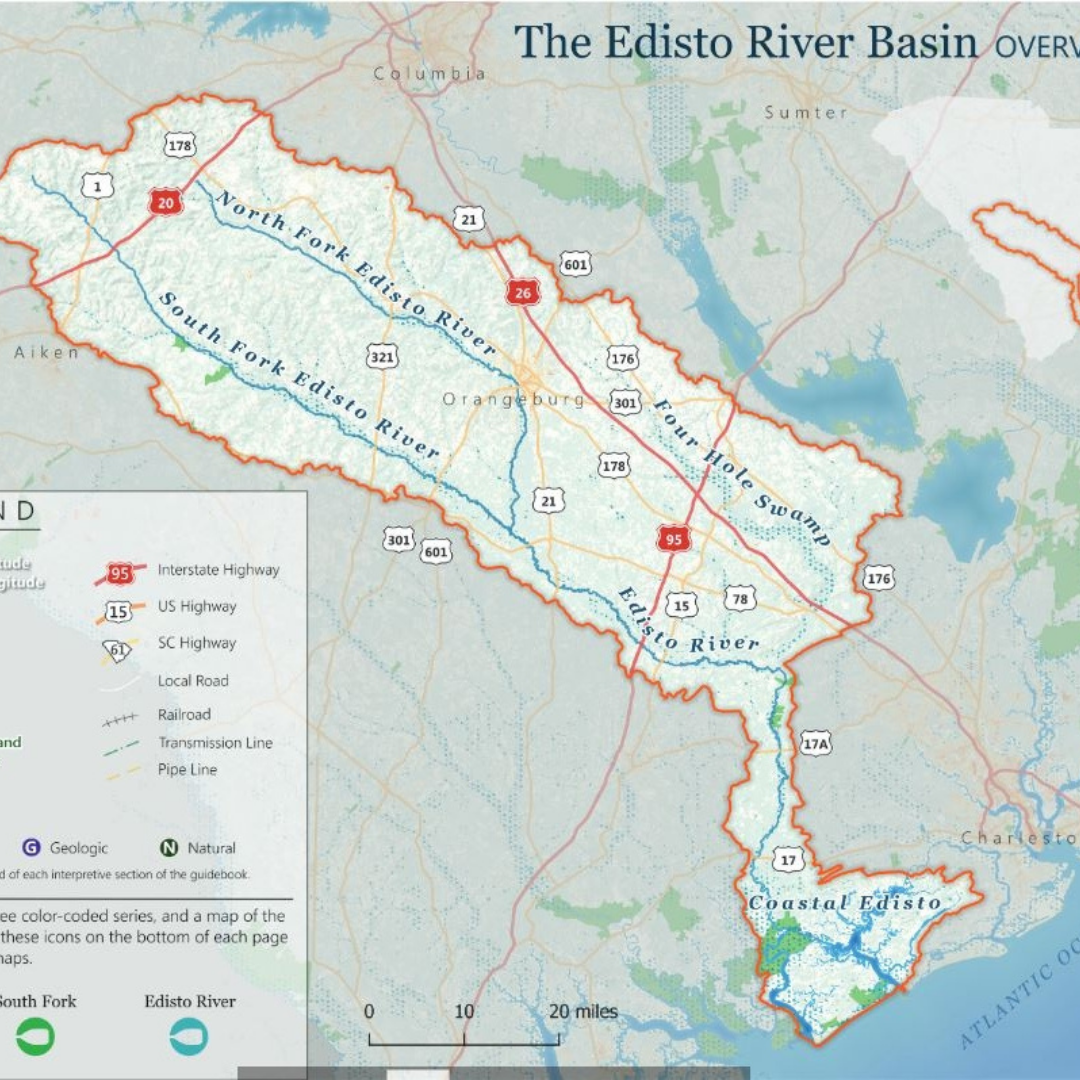
Edisto River Basin
Location: South Carolina
Developed by: SC Department of Natural Resources
View Map (1, 2, 3, 4, 5, 6)
|
|
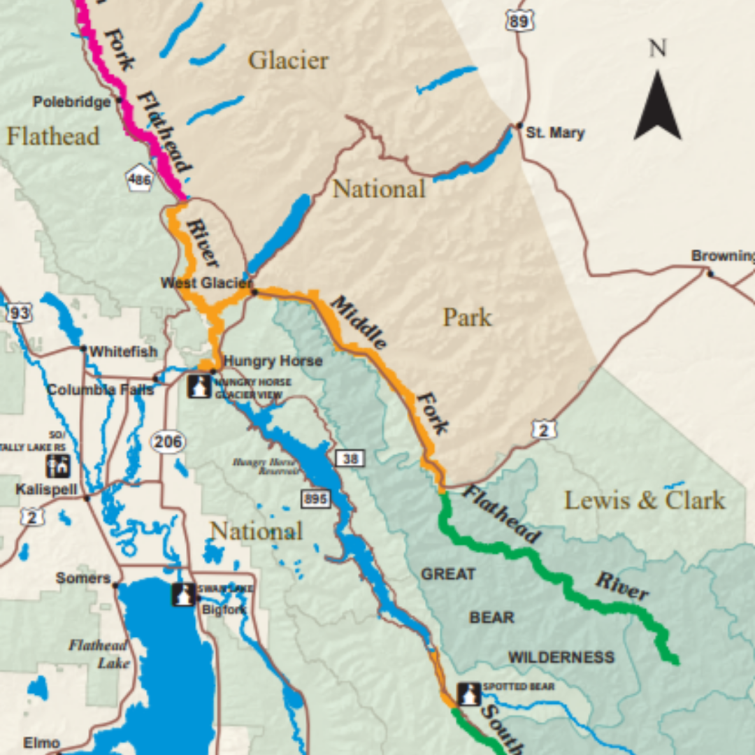
Three Forks of the Flathead River
Location: Montana
Developed by: Flathead National Forest
View Map (General, North, Middle, South)
|
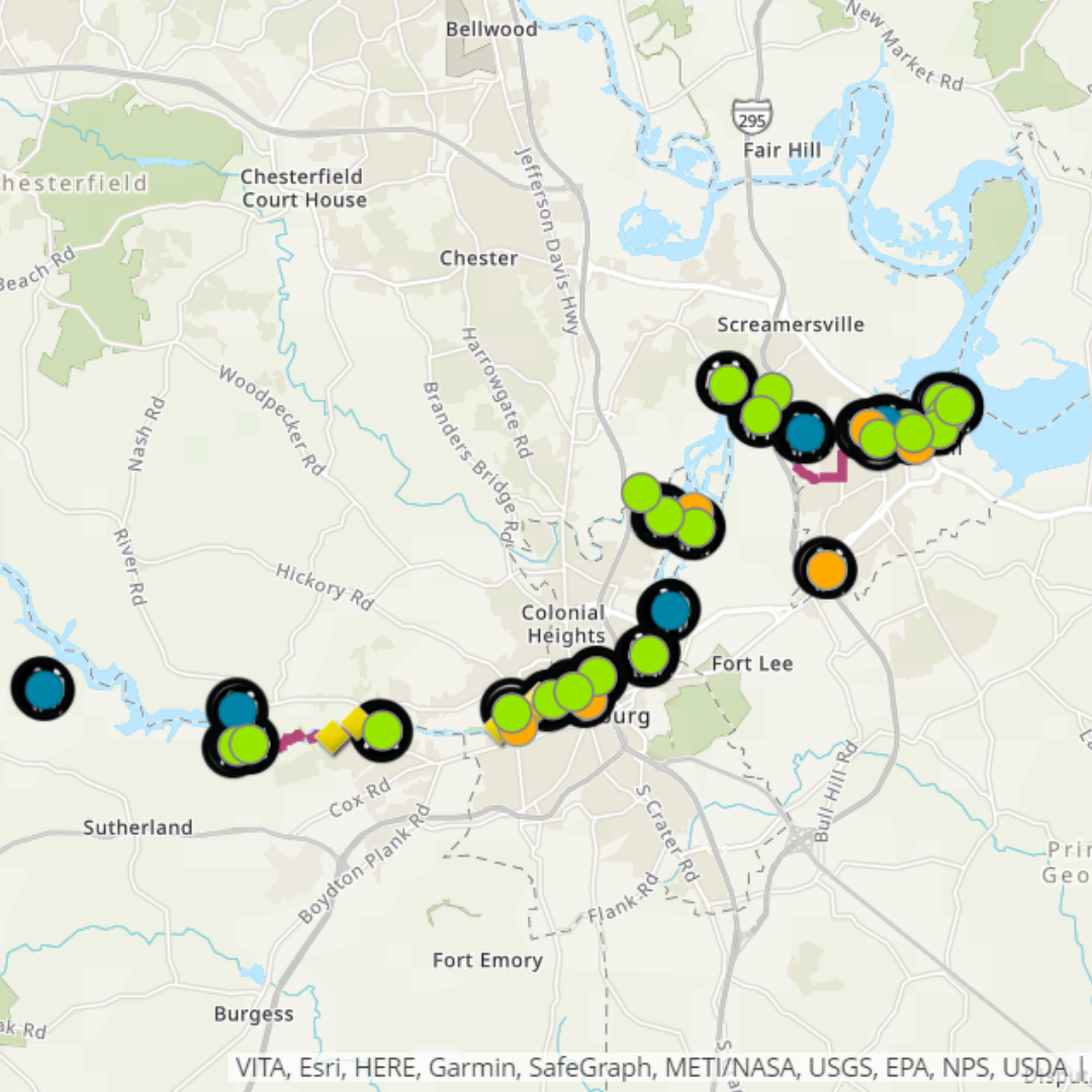
Lower Appomattox River
Location: Virginia
Developed by: Friends of the Lower Appomattox River
View Map (Interactive, Print)
|
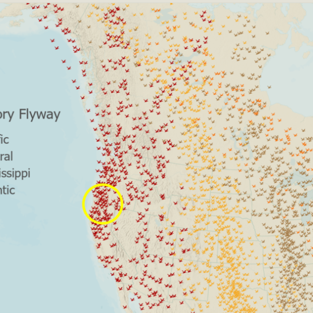
Upper Klamath Basin StoryMap
Location: Oregon, California
Developed by: Oregon State University
View Map
|
